

The Indiana–Michigan River Valley Trail (IMRVT) is a 24-mile multi-use trail connecting Niles, Michigan, to Mishawaka, Indiana. Following the scenic St. Joseph River corridor, the trail provides a safe and accessible route for walking, running, biking, and commuting between communities in southwest Michigan and northern Indiana.
The trail connects 4 universities (Notre Dame, St. Mary’s College, Holy Cross College, and Indiana University – South Bend), 4 downtowns (Niles, Roseland, South Bend, and Mishawaka) with restaurants, lodging and shopping, 16 parks, YMCAs in Niles and South Bend and several historical and cultural attractions such as the site of Fort St. Joseph.
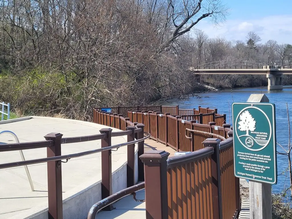
In Michigan, there are several trailheads to access the trail – at Plym Park, the Niles YMCA and Corewell Health Lakeland Hospital on Grant Street in Niles, Brandywine Creek Nature Preserve, Niles Township Hall, and along Ontario Street. In Michigan, the trail is owned and maintained by the City of Niles and Niles Township.
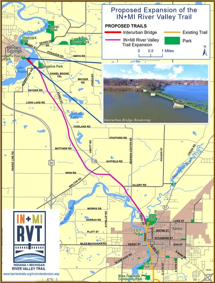
The City of Niles has secured grant funding from the Michigan Department of Natural Resources to repair several sections of the trail. This work will take place in the spring/summer of 2026. The United Way has secured funding from HUD to develop a mile of trail north of Niles from Plym Park to Pucker Street. This construction is expected in 2026-2027. The City of Niles has secured $2 million in funding from HUD to advance the trail from Pucker Street to Walton Road along M-139.
Friends of Berrien County Trails is working with partners to extend the Indiana–Michigan River Valley Trail to Berrien Springs, Michigan and ultimately to St. Joseph/Benton Harbor where the St. Joseph River enters Lake Michigan.
You can learn more about the Indiana–Michigan River Valley Trail project and current development efforts on our Indiana–Michigan River Valley Trail project page.
You can help expand and improve the Indiana Michigan River Valley Trail through a tax-deductible donation. Community support plays an important role in extending the trail and building stronger connections across the region.
Construction within 2 years - 1 mile
(Plym Park to Pucker Street)
In Development – 8 miles (Pucker Street to Berrien Springs)
Proposed – 14 miles (Berrien Springs to St. Joseph/Benton Harbor)
Paved Multi-Use
River corridor, mostly flat with some gently rolling sections (ADA accessible
Parking, Restrooms, Park Access, Scenic River Views, Downtown Access, Connections to Schools and Universities, Access to Hospitals and Medical Facilities, Connections to YMCA Facilities
Biking, Walking / Running Commuting, Recreational Cycling, Hiking, Wildlife Viewing